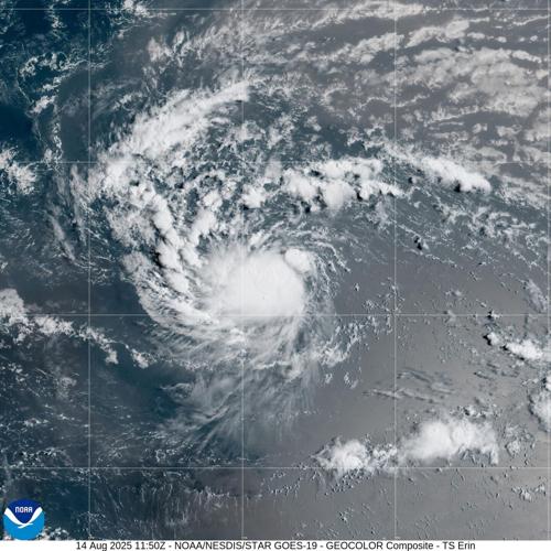
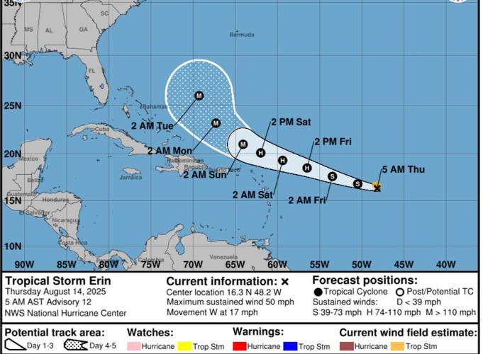
Tropical Storm Erin is expected to enter warming waters and become a hurricane by Friday afternoon, forecasters with the National Hurricane Center in Miami said on Thursday.
As of 4 a.m., Erin was 990 miles east of the northern Leeward Islands and had maximum winds of 50 mph. The tropical storm continues to move west at about 17 mph, said NHC forecaster Larry Kelly.
Kelly said the increasingly favorable conditions will bring rapid intensification in the next 24 to 48 hours. Erin is forecast to become the Atlantic Ocean's first hurricane of the 2025 season.
After becoming a hurricane, Erin will continue to intensify Friday and Saturday, becoming Category 3 strength by Saturday, forecasters said.

The tropical storm currently poses no threat to land. It is forecast to continue moving west and later take a more northwest direction.
Kelly said there is still uncertainty about how Erin will impact the U.S. east coast, the Bahamas and Bermuda.
Erin does not pose an immediate threat to Louisiana.
Area of low pressure in the Gulf
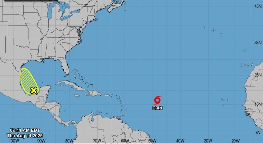
A broad area of low pressure was producing disorganized showers and thunderstorms in the southwestern gulf over the Bay of Campeche as of 7 a.m. Thursday.
The system is forecast to move west-northwest across the Gulf in the next day or two, which has marginally conducive conditions for development, NHC forecasters said.

The system is expected to move inland over northeastern Mexico or southern Texas by late Friday, ending its chances of becoming a tropical cyclone.
Regardless of development, heavy rainfall is possible in portions of northeastern Mexico and southern Texas over the next few days.
Forecasters said the disturbance has a 20% chance of forming in the next 48 hours.


